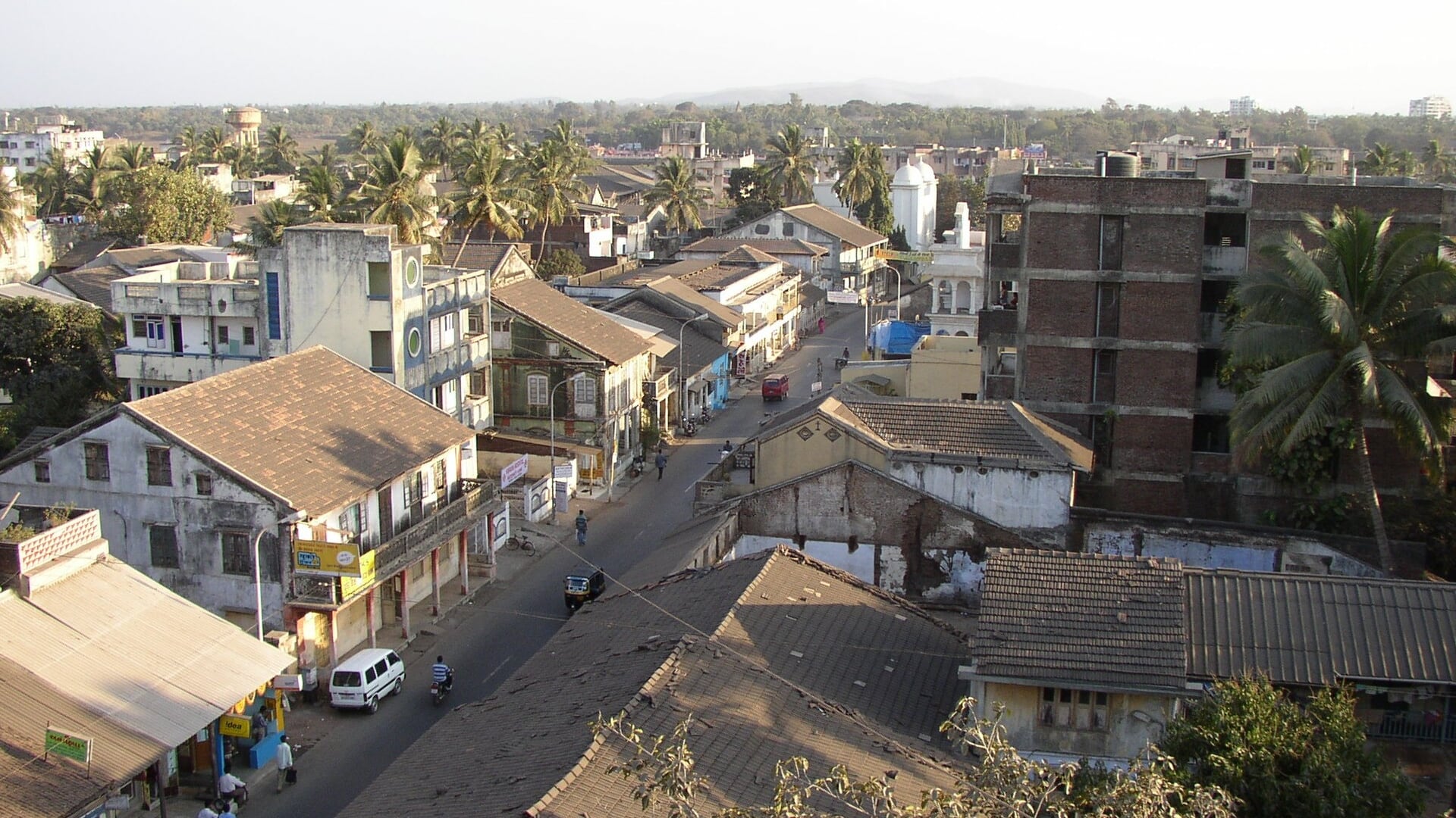
Daman, a coastal enclave on India’s western shore, remained under Portuguese administration for over four centuries, even after India gained independence in 1947. Today, covering just 72 square kilometers, Daman is part of a broader administrative reorganization: since January 26, 2020, it is one of the districts within the Union Territory of Dadra and Nagar Haveli and Daman and Diu.
Located on the Arabian Sea and near the state of Gujarat, Daman sits at the mouth of the Daman Ganga River, which divides the city into Moti Daman and Nani Daman. Its position allowed control over maritime routes and made the area a strategic point contested by regional powers and later by European states seeking dominance in the Indian Ocean.
Portuguese influence is evident in the architecture and urban layout. Fortifications, churches and other colonial structures remain, distinguishing Daman from many other Indian cities whose colonial history was dominated by Britain. Daman’s final incorporation into India took place in December 1961 through a military operation that ended Portuguese control over the last European enclaves in the region, according to the official government website.
The port before and during European expansion
Before the arrival of Europeans, Daman belonged to several Indian polities: the Maurya Empire, the Satavahanas, the Kshatrapas and the Chalukyas. In the 15th century, the port came under the rule of the Gujarat Sultanate, which allowed authorities to control maritime routes and levy duties on regional trade.
Portuguese interest began in the early 16th century. Local accounts say Captain Diogo de Melo arrived in Daman in 1523 by chance after a storm diverted his ship. Portugal aimed to establish a network of ports and fortresses in Asia to protect its trade routes, with main centers in Goa, Diu and Bassein. After decades of clashes and negotiations, Portugal established definitive control over Daman in 1559 during the administration of Viceroy Constantino de Braganza.
Fortresses and churches: the Portuguese legacy
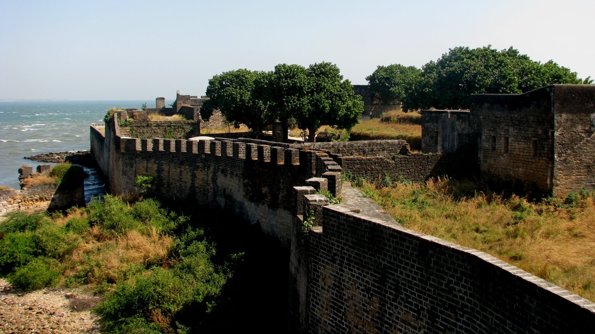
From 1559, Daman was incorporated into the Portuguese State of India, alongside other enclaves such as Goa and Diu. Portuguese rule lasted 402 years. During that time the port served as a commercial and strategic base, and colonial influence is visible in the built environment and religious sites.
Prominent among the remains is the Moti Daman Fort, whose construction began in 1559 and was completed in 1581. The complex includes stone ramparts, monumental gates and bastions oriented toward the river and the sea. Within the fort stood administrative buildings and churches, including the Church of Bom Jesus—founded in 1559 and consecrated in 1603—which still preserves carved wooden altars and decorative elements typical of Portuguese churches of the period.
These characteristics help explain why Daman differs from other colonial territories in India: here the primary European power was Portugal, and administrative continuity persisted into the 20th century.
From Operation Vijay to the current reorganization
Although India became independent from the United Kingdom in 1947, Portugal retained control over Goa, Daman and Diu. After years of negotiations and diplomatic efforts, the situation was resolved in December 1961 with Operation Vijay, an Indian military offensive that resulted in the Portuguese surrender in those enclaves. The annexation of the territories was formalized on December 19, 1961, according to the Government of Goa.
The territories were organized as the Union Territory of Goa, Daman and Diu. In 1987, Goa became a state, and Daman and Diu became a separate union territory. The most recent administrative unification occurred on January 26, 2020, when Dadra and Nagar Haveli merged with Daman and Diu into a single union territory, consolidating three districts under direct administration by the national government.
Daman’s history reflects a distinct case within India’s colonial and postcolonial map, marked by the persistence of Portuguese influence and by recent administrative changes.